Leen Helmink Antique Maps
Old books, maps and prints by Lucas Janszoon Waghenaer
Lucas Janszoon Waghenaer (c.1534-1598)
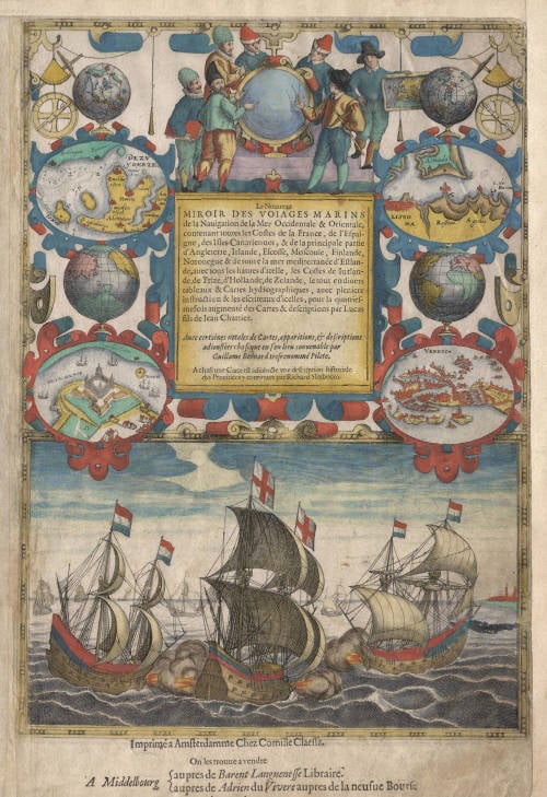
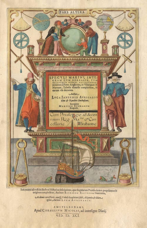
By the third quarter of the sixteenth century an ever increasing volume of the wealth of the New World and the Indies was reaching Lisbon and the Spanish porte there to be trans-shipped to Northern and Western Europe. This trade was almost entirely in the hands of the Dutch so it was logical that one of their pilots should produce the first set of effective navigational charts. These were compiled under the title Spiegel der Zeevaerdt, by Lucas Janszoon Waghenaer, a native of Enkhuizen on the Zuider Zee, an experienced seaman and pilot. His magnificently produced charts embodying all the latest contemporary knowledge of navigation and position-finding set a standard which was followed by others for the next century or more – indeed, some of the symbols employed are still in use today.
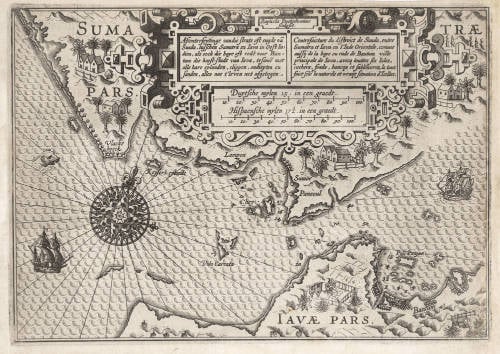
The charts in the first edition, covering the coast lines from Holland to Spain and the North Sea and Baltic, were engraved by the van Doetecum brothers and printed by Plantin: those in the English edition, which was translated by Sir Anthony Ashley and issued in 1588 – the year of the Armada – were engraved by de Bry, Hondius, Rutlinger and Ryther, who also engraved some of Saxton's maps. The charts are extremely picturesque with elaborate cartouches, ships in full sail and the sea monsters so commonly used as decoration in maps of the period. Place names are given on the coasts but comparatively few are shown inland; cliffs on the coastline are drawn in elevation; navigational landmarks and hazards, anchorages, soundings and tidal details are indicated and the scale is shown in English, Spanish and Dutch leagues. Altogether some of the most handsome maps ever produced.
The charts became so universally popular that their name, anglicized to 'Waggoner', came into use in English as a generic term for sea charts of all kinds.
(Moreland and Bannister)


