Leen Helmink Antique Maps
Antique map of the World by Heydt

Stock number: 19791
Zoom ImageCartographer(s)
Heydt
Title
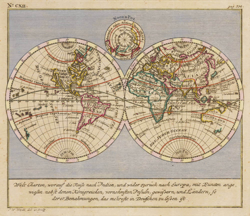
Welt Charten, worauf die Reise nach Indien, und wider zuruck nach Europa, mit Puncten angewiesen nebst denen Konigreichen, vornehmsten Insuln, Gewassern, und Landern, so der er Benahmungen, das mehreste in Deutschen zu lessen ist.
First Published
Nuremberg, 1744
Technique
Condition
excellent
Price
$ 1,750.00
(Convert price to other currencies)
Description
The double hemisphere map of the world, from Wolfgang Heydt's show case book about the VOC, Allerneuester Geographisch- und Topographischer Schau-Platz von Africa und Ost-Indien oder Ausführliche und Wahrhafte Vorstellung und Beschreibung von den Wichtigsten der Holländisch-Ost-Indischen Compagnie in Africa und Asia zugehörigen Ländere, Küsten und Insulten in accuraten See- und Land-Karten.
In his monumental book, Heydt describes the main factories, settlements and stations of the Dutch East India Company in Africa and Asia, at Batavia, Colombo, Malacca, the Molluccas, Japan, and the Cape.
The maps include this twin-hemisphere World map, the East Indies, Sri Lanka and others. The views include scenes and interiors at Batavia, Colombo, Malacca and the settlement at Deshima in Japan.
The book and the maps are of highest importance, and very rare.
Related Categories
Related Items


 by Ruscelli")
