Leen Helmink Antique Maps & Atlases
www.helmink.com
Heydt
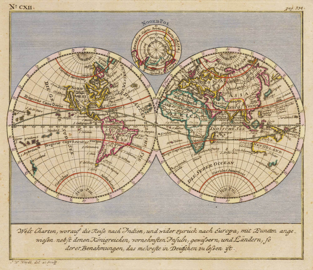
Welt Charten, worauf die Reise nach Indien, und wider zuruck nach Europa, mit ...
Certificate of Authentication and Description
This is to certify that the item illustrated and described below is a genuine antique
map, print or book that was first produced and published in 1744, today 282 years ago.
July 13, 2026
Cartographer(s)
Heydt
First Published
Nuremberg, 1744
This edition
Size
cms
Technique
Copper engraving
Stock number
19791
Condition
excellent
Description
The double hemisphere map of the world, from Wolfgang Heydt's show case book about the VOC, Allerneuester Geographisch- und Topographischer Schau-Platz von Africa und Ost-Indien oder Ausführliche und Wahrhafte Vorstellung und Beschreibung von den Wichtigsten der Holländisch-Ost-Indischen Compagnie in Africa und Asia zugehörigen Ländere, Küsten und Insulten in accuraten See- und Land-Karten.
In his monumental book, Heydt describes the main factories, settlements and stations of the Dutch East India Company in Africa and Asia, at Batavia, Colombo, Malacca, the Molluccas, Japan, and the Cape.
The maps include this twin-hemisphere World map, the East Indies, Sri Lanka and others. The views include scenes and interiors at Batavia, Colombo, Malacca and the settlement at Deshima in Japan.
The book and the maps are of highest importance, and very rare.