Leen Helmink Antique Maps & Atlases
www.helmink.com
Montanus
Yucatan partie de la Nouvelle Espagne et Guatimala
Certificate of Authentication and Description
This is to certify that the item illustrated and described below is a genuine antique
map, print or book that was first produced and published in 1671, today 355 years ago.
June 20, 2026
Cartographer(s)
Montanus
First Published
Amsterdam, 1671
This edition
1671
Size
28.5 x 36.1 cms
Technique
Copper engraving
Stock number
18661
Condition
excellent
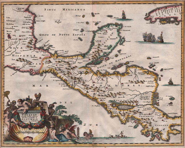
Description
One of the best obtainable early maps of the region, a reduced version of the scarce Blaeu map that appears in Atlas Maior only.
" [ Arnold Montanus ] Published a notable Atlas of America which was used by John Ogilby as the basis for his 'An Accurate Description and Complete History of America'. The maps were extremely decorative [...]."
(Moreland and Bannister).